Florida · City profile
Crime Map, Crime Rate and Safety Score in New Port Richey, FL
Explore neighborhood Safety Scores in New Port Richey, see which ZIP codes its residents live in, and compare the closest cities.
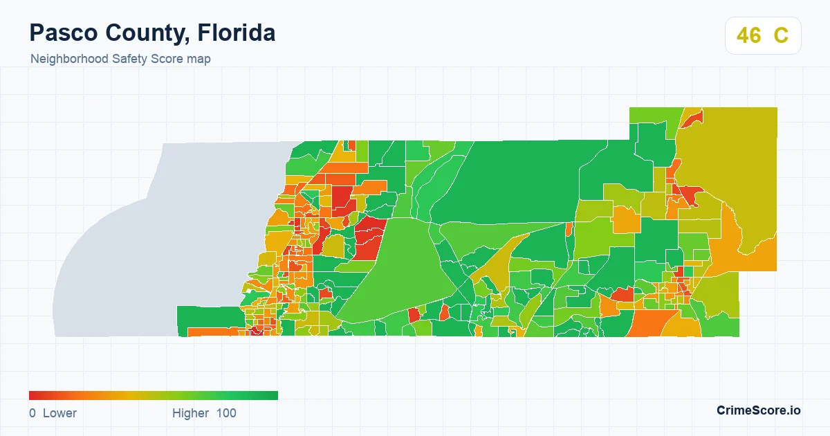
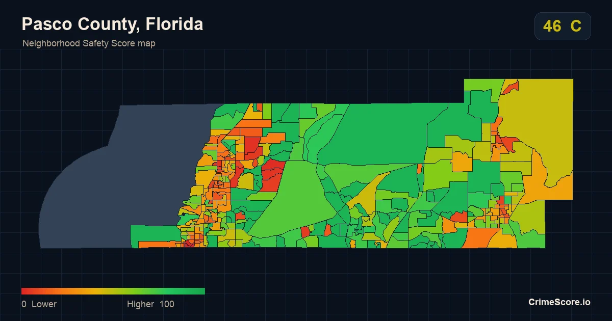
Explore neighborhood Safety Scores around New Port Richey. The map can include areas outside the city limits.
Is New Port Richey, FL safe?
New Port Richey, Florida has a CrimeScore Safety Score of 38 out of 100, grade D, below the Florida statewide score of 53. An estimated 19% of its residents live in neighborhoods graded A or B, compared with 45% statewide. Safety Scores are modeled estimates, not official crime rates.
- Safety Score
- 38 / 100
- Residents in A or B neighborhoods
- 19%
- Residents in D or F neighborhoods
- 61%
- Scored neighborhoods
- 21
How New Port Richey compares
New Port Richey scores 15 points below the Florida statewide score of 53. Both scores average neighborhood scores weighted by population, so they compare directly.
New Port Richey lies in Pasco County, which has a county Safety Score of 46, grade C.
County Safety Scores describe whole counties and are measured differently, so they are not an average of the neighborhoods inside New Port Richey.
Neighborhoods inside New Port Richey
21 scored neighborhoods (Census block groups) with residents lie at least partly inside New Port Richey, 10 of them mostly inside it. Among those 10, the lowest scores 9, the highest 74, and the middle 80% range from 23 to 67.
ZIP codes where New Port Richey residents live
Listed by the estimated share of New Port Richey's residents who live in each ZIP code. A ZIP score covers the whole ZIP, including any part outside the city.
Higher scores indicate safer modeled conditions. Scored areas are Census block groups, not a coverage percentage.
Closest cities in Florida
- Tarpon Springs Safety Score 61 · grade B · 7.5 miles
- Oldsmar Safety Score 70 · grade B · 14 miles
- Dunedin Safety Score 54 · grade C · 16 miles
- Safety Harbor Safety Score 65 · grade B · 17 miles
- Clearwater Safety Score 44 · grade C · 19 miles
Distances are measured between the population-weighted centers of each city's scored neighborhoods.
About New Port Richey
New Port Richey has an estimated 18,130 residents (2024 Census estimate) and 4.5 square miles of land inside its 2020 city limits. Its city score combines 21 scored Census block groups that lie at least partly within those limits.
How this page is built
ZIP codes are listed by the estimated share of the city's residents who live in them, from 2020 Census block-group population spread evenly over each block group's land. The city score is not an average of ZIP scores.
For product teams